
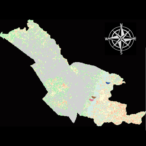
Agent modeling (ABM) as a tool to improve the mobility of “avoidant” birds in an ecological corridor in the localities of Chapinero, Teusaquillo, Barrios Unidos and Engativá of Bogotá city 1.0.1
The purpose of this model is to analyze different configurations and scenarios of ecological corridors to simulate the movement of three avoider bird species at a local scale: Chondrohierax uncinatus (Accipitridae), a large carnivorous bird; Ampelion rubrocristatus (Cotingidae), a species that seeks areas with substantial land cover for refuge and rest; and Coeligena bonapartei (Trochilidae), a large hummingbird that prefers areas with a rich and diverse food supply. The model focusses on juvenile bird individuals seeking refuge and food, taking into account the mobility parameters of each species and the existing land cover types within the study area.
Specifically, the model aims to:
• Simulate the movement of 45 avoiders birds which are considered umbrella species sensitive to urban changes (which were chosen based on their specific biological and ecological requirements and parameters relevant to urban conservation efforts), 15 avoiders birds per specie to cross a two-dimensional world predominant urban.
• To be able to select which corridor scenario would be the most beneficial, in order to help the mobility of other species affected by urban fragmentation.
• Contribute to urban ecology research and support decision-making processes by relevant stakeholders.
Release Notes
ABM Model: Ecological corridor Bogotá
Mobility of urban-avoider birds in Chapinero, Teusaquillo, Barrios Unidos and Engativá.
Version V.10: Initial scenario
Tempral Scale 1tick = 1 hour
Plataform: NetLogo 6.4.0
Spatial scale: Local (just 4 urban areas)
Three agents defined (juvenile urban-avoider birds). “Ampelion rubrocristatus (frugivore). Chondrohierax uncinatus (carnivore). Coeligena bonapartei (nectivore)”.
5 posibilities of patches.
Agent energy based on maths ecuations “EM” and “EMB”
Three genaral behaviours: Die; Move; Eat
EEP land-cover patches regenerate every 24 ticks (daily cycle)
Only Main Ecological Structure (EEP) covers regenerate. All other land covers remain constant.
Altitudinal range of study area: 1,000–3,500 m a.s.l.
Five ecological corridor scenarios modelled which it’s related between the interaction of agents (birds), patches (land posibilities) and their achievement upon reaching the designated area (Simón Bolívar Park). This is the initial scenario, from which 5 more were generated.