Geographic Expansion Model (GEM) (1.0.0)
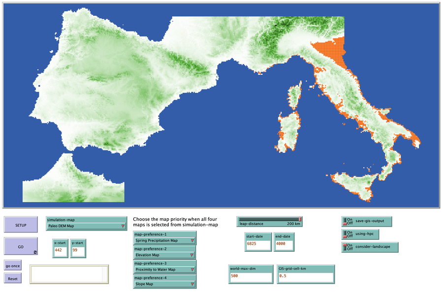
The purpose of this model is to explore the importance of geographic factors to the settlement choices of early Neolithic agriculturalists. In the model, each agriculturalist spreads to one of the best locations within a modeler specified radius. The best location is determined by choosing either one factor such as elevation or slope; or by ranking geographic factors in order of importance.

Release Notes
The model uses GIS files that are located in a folder called maps and data. Also included, is a raster, gis file, that as used to evaluate the results from the model. An excel file contains the Neolithic sites used to create the chronosurface.
Associated Publications
Geographic Expansion Model (GEM) 1.0.0
Submitted by
Sean Bergin
Published Feb 28, 2020
Last modified Feb 28, 2020
The purpose of this model is to explore the importance of geographic factors to the settlement choices of early Neolithic agriculturalists. In the model, each agriculturalist spreads to one of the best locations within a modeler specified radius. The best location is determined by choosing either one factor such as elevation or slope; or by ranking geographic factors in order of importance.
Release Notes
The model uses GIS files that are located in a folder called maps and data. Also included, is a raster, gis file, that as used to evaluate the results from the model. An excel file contains the Neolithic sites used to create the chronosurface.